
Ready to use rigs
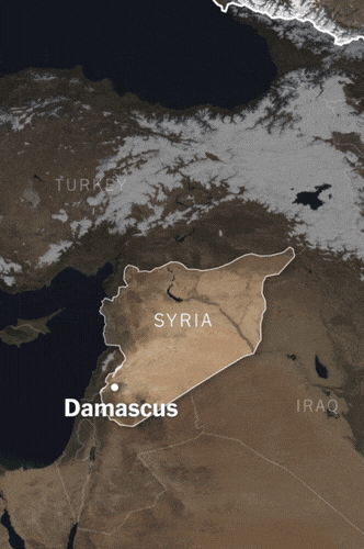
I built a custom After Effects rig that bridges the gap between complex cartography and fast-paced editing. By combining GEOlayers and Video Copilot’s Orb, we can generate high-end, 3D animated maps that are easy to update and editor-friendly.
To keep the maps accurate and the workflow fast, we rely on predefined borders and a matching illustrator file to port new shapes from, removing the guesswork during tight deadlines.
Using custom expressions, the labels automatically scale, fade, and re-position to the exact coordinates defined. Everything is pre-styled to match the latest Times brand guidelines ensuring the maps feel like a natural extension of the reporting. By automating the technical hurdles of map-making, we spend less time troubleshooting keyframes and more time using the map as a storytelling device to explain the "where" behind the news.
Google Earth Engine: Visualizing Time
For events happening in a specific time, like the warfront in Ukraine or wildfires in California, I use Google Earth Engine. It’s essentially a time machine for satellite data.
Instead of hunting for one perfect satellite image, I write scripts to create Composite Maps to help the engine comb through years of government satellite passes, merging the best pixels into a single frame.
This allows me to pinpoint specific dates. If an event happened on July 14th, I can pull data from a tight window around that exact moment. To remove the noise I use "median reducers" to filter out clouds and shadows, leaving a crisp, forensic view of the terrain. I render these time-series as high-resolution animated sequences.
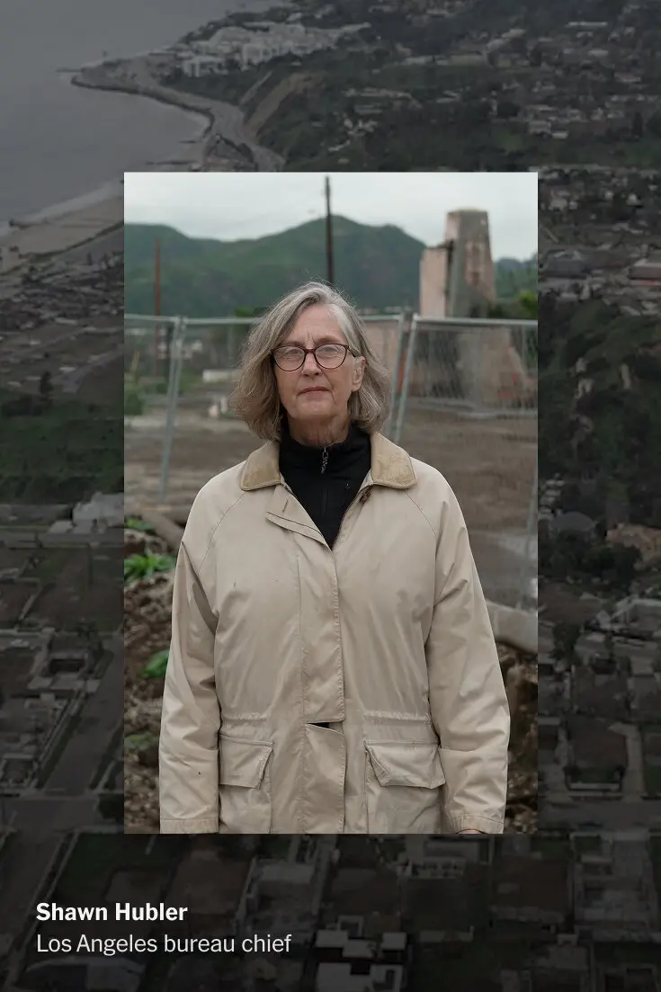
Why Have So Few Homes Been Rebuilt After the L.A. Fires?
Jan. 7, 2026
.webp)
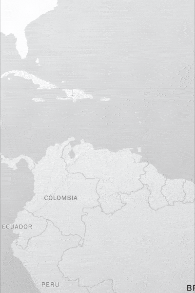
Latin America Reacts to Trump’s Interventionism
Jan. 11, 2026